
Activist mapping has been a cross-cutting theme across the other topics on the website. I have been most involved in producing spatial data to halt oil exploitation in the Yasuní, alongside Yasunidos and Geografía Crítica. I have also been involved in developing materials for popular education, as well as new methodologies such as body-territory mapping.
On this page, you will find information and publications on various initiatives.
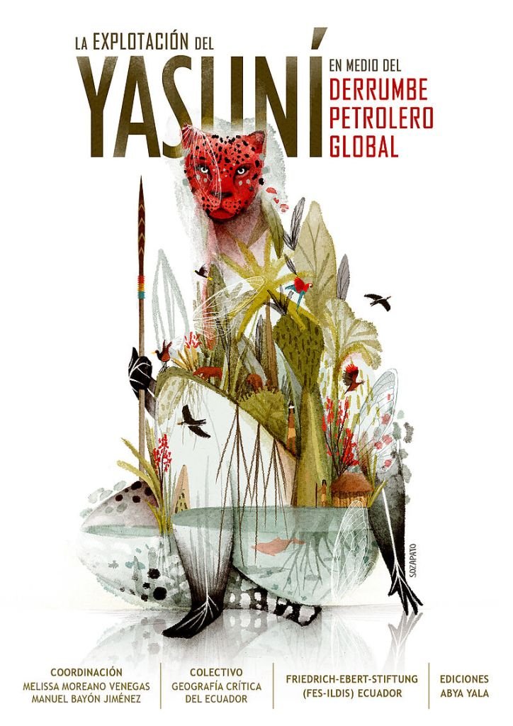
A scientific ‘minka’ for Yasuní
The exploitation of Yasuní amidst the global oil crisis
The Yasuní-ITT Initiative proposed to the world that the oil contained within Yasuní National Park – one of the world’s most biodiverse places and home to uncontacted indigenous peoples – be left in the ground in exchange for an international contribution.
The 2013 decision to exploit the reserves, under the promise that only one-thousandth of the Park would be developed, was so geographically ill-conceived that a scientific ‘Minka’ (collaborative work in Kichwa) was formed to halt its destruction.
After 10 years of campaigning by the Yasunidos Collective, a national referendum was finally held in 2023, in which almost 60 per cent of the Ecuadorian population voted in favour of removing the oil wells from Yasuní.
This book was a collective effort in the midst of the pandemic, at a time when it was hardest to imagine the long-awaited referendum, and it brought together a myriad of arguments from the fields of geography, anthropology, indigenous studies, biology and activism.
ACTIVIST CARTOGRAPHY
In defence of Yasuní
The Critical Geography Collective set out to demonstrate two points. Firstly, using the very quantitative cartographic science of the Environmental Impact Assessments carried out by the oil companies’ consultancy firms, it showed that the impacts set out in these assessments were far exceeded by the reality of oil extraction.
Secondly, that the quantitative perspective of positivist science is insufficient to account for the immeasurability of the social and environmental processes at play in the Yasuní, with an analysis of the colonial environmental thinking embedded in the arguments in favour of exploitation.
On the side and at the bottom, you can see some of the specific strategies employed and press coverage in chronological order between 2013 and 2025. Further down is the academic article reflecting on the experience.
Initial impact estimates
In response to the flimsy argument that there would only be a negligible impact on an area of high hydrological complexity inhabited by isolated communities, the mapping work focused on estimating the number of hectares that would be affected, in line with the standards and concerns of the companies involved. In an initial conservative estimate, the impact jumped from 1 per thousand to 117 per thousand.
Report to the UN Special Rapporteur
Carolina Tauli Corpuz, the UN Special Rapporteur on Indigenous Peoples, made an official visit to Ecuador, during which we were able to present a detailed document containing maps illustrating the situation in Yasuní. In her country report, the Special Rapporteur highlighted the need to extend recognition to these peoples and to restrict extractive activities.
Appearances before the National Assembly
In response to the government’s intention to draft decrees that would facilitate oil exploitation in the area, the Biodiversity Committee appointed the collective as a technical body responsible for producing reports and maps, which led to the presentation of counter-arguments based on technical evidence during the hearings with government ministers.
Inspections with the Ombudsman’s Office
The construction of roads and platforms beyond the permitted boundaries led to an on-site visit with the Ombudsman’s Office of Ecuador, during which it was found that the technology used was far from the best available, and that there were unjustified environmental impacts.
Amicus Curiae submissions to the courts of justice
With all the information gathered, the collective was able to submit Amicus Curiae briefs to the Constitutional Court of Ecuador, in the case that annulled Decree 751 and in the case that led to the referendum, and to the Inter-American Court of Human Rights in its historic ruling in defence of the peoples of Yasuní.
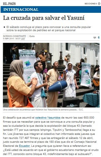
“Manuel Bayón explains that, following this simulation, they have determined that oil activity in blocks 31 and 43 would affect more than 145,870 hectares.” (ElPaís.com)
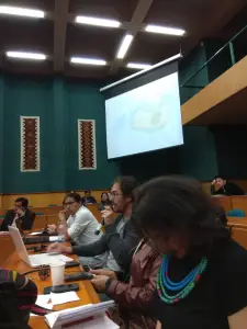
Report to the United Nations Special Rapporteur on Indigenous Peoples on the need to expand the protected area for Isolated Peoples in the Yasuní.
Participation in the National Assembly to repeal the decree that would allow the exploitation of the protected area for indigenous peoples living in isolation (TeleAmazonas).
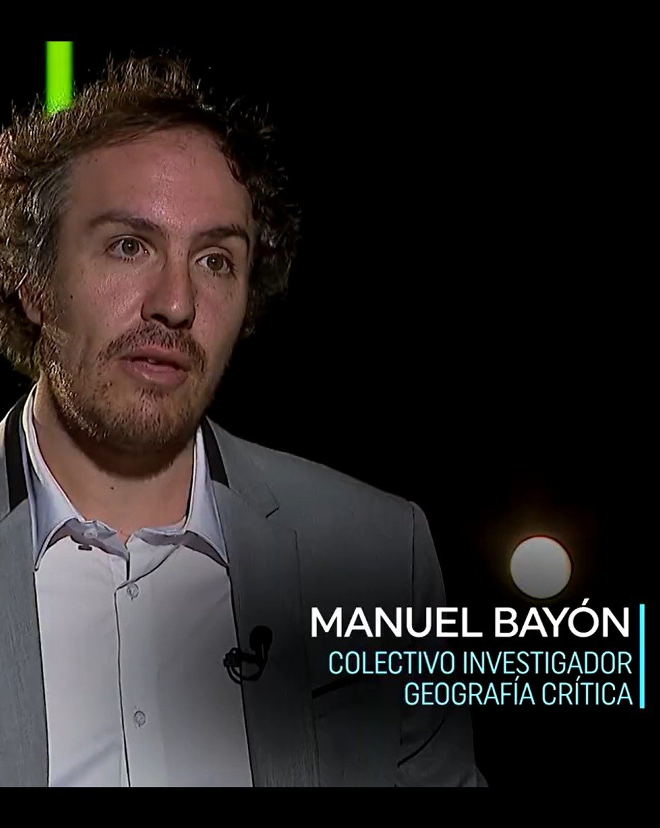
Television report by Visión 360 on the curtailed inspections in the Yasuní with the Ombudsman’s Office (Ecuavisa TV).
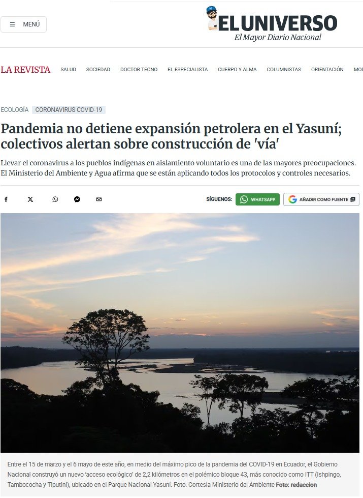
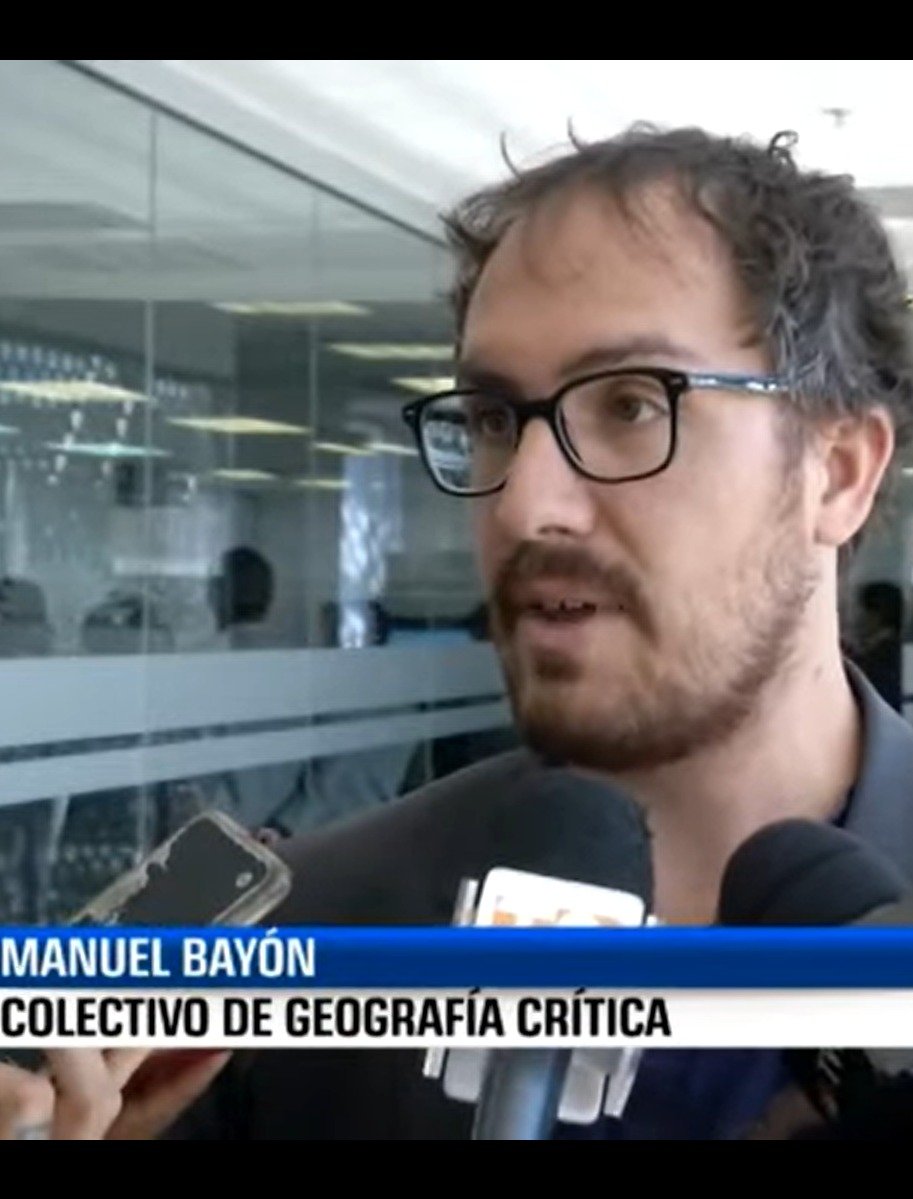
‘Manuel Bayón brands the Ecuadorian State’s decision to continue with oil activities in such a sensitive area, knowing the danger involved, as irresponsible’ (El Universo).
Ruling by the Inter-American Court of Human Rights in favour of uncontacted peoples, with an amicus curiae and cartography by Manuel Bayón and Amanda Yépez.
2025
Investigaciones Geográficas: una mirada desde el sur. Universidad de Chile
The role of critical geography in defending the Yasuní against oil exploitation in the Ecuadorian Amazon
Bayón Jiménez, M., Yépez Salazar, A., Baroja Rojas, C., Escobar Serrano, D., Maldonado Perez, C., & Arrazola Aranzábal, I
Popular pedagogies
Moving beyond quantitative mapping, our collective has sought to develop pedagogical approaches based on activist cartography through community-led and collective mapping initiatives. The lessons learnt from these have been set out in educational booklets. In my case, I have contributed to the ‘Mapping for Resistance’ series on extractivism for the School of Territorial Defence, and to the ‘Migrant Justice’ series for training and advocacy work against xenophobia.
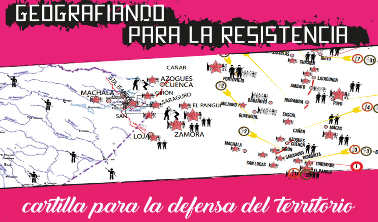
Mapping for Resistance 1: A handbook for the defence of territory.
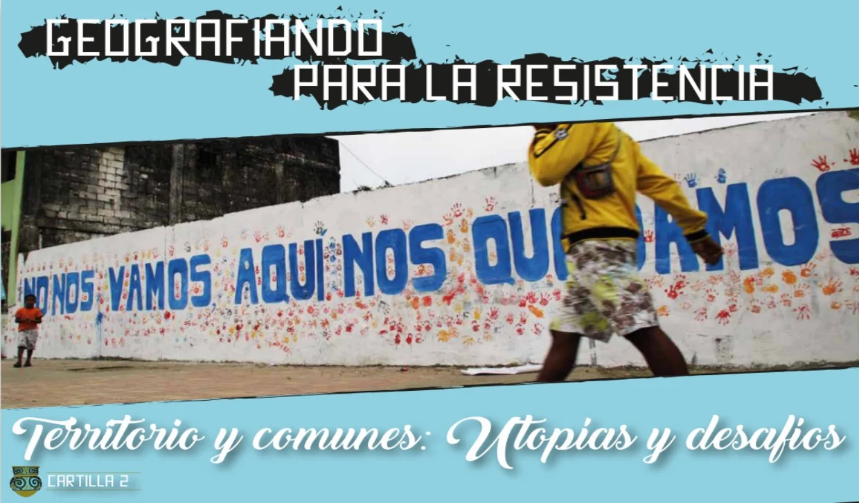
Mapping for Resistance 2: Territory and the commons, utopias and challenges.
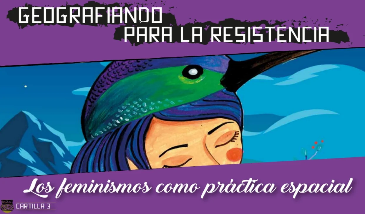
Mapping for Resistance 3: Feminisms as a spatial practice.
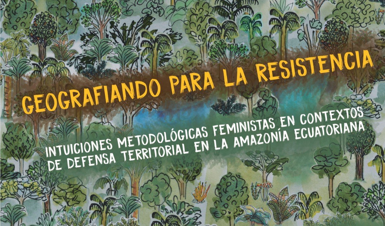
Mapping for Resistance 4: Feminist methodological insights in contexts of territorial defence.
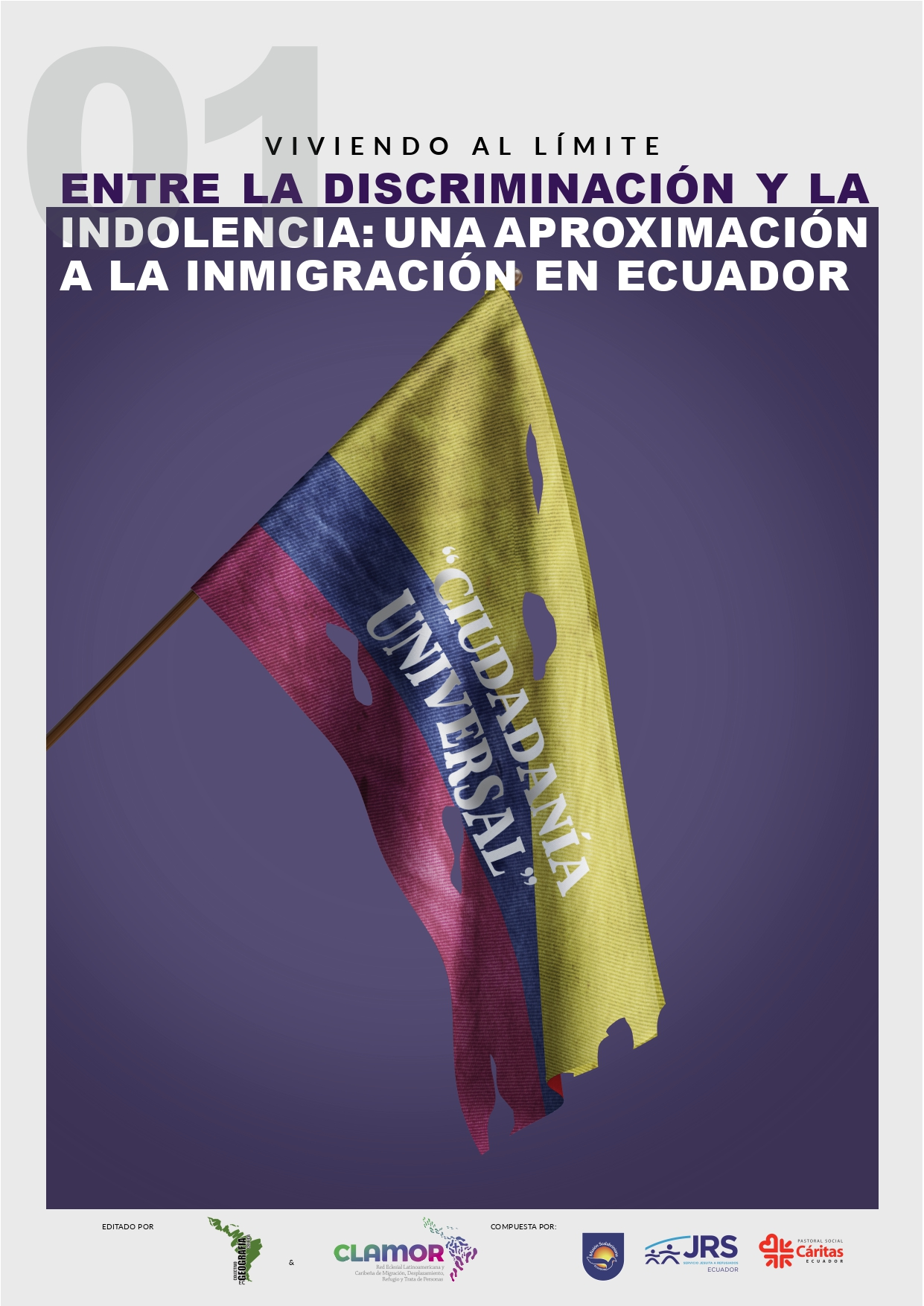
Migrant Justice 1: Between discrimination and indifference: an approach to immigration.
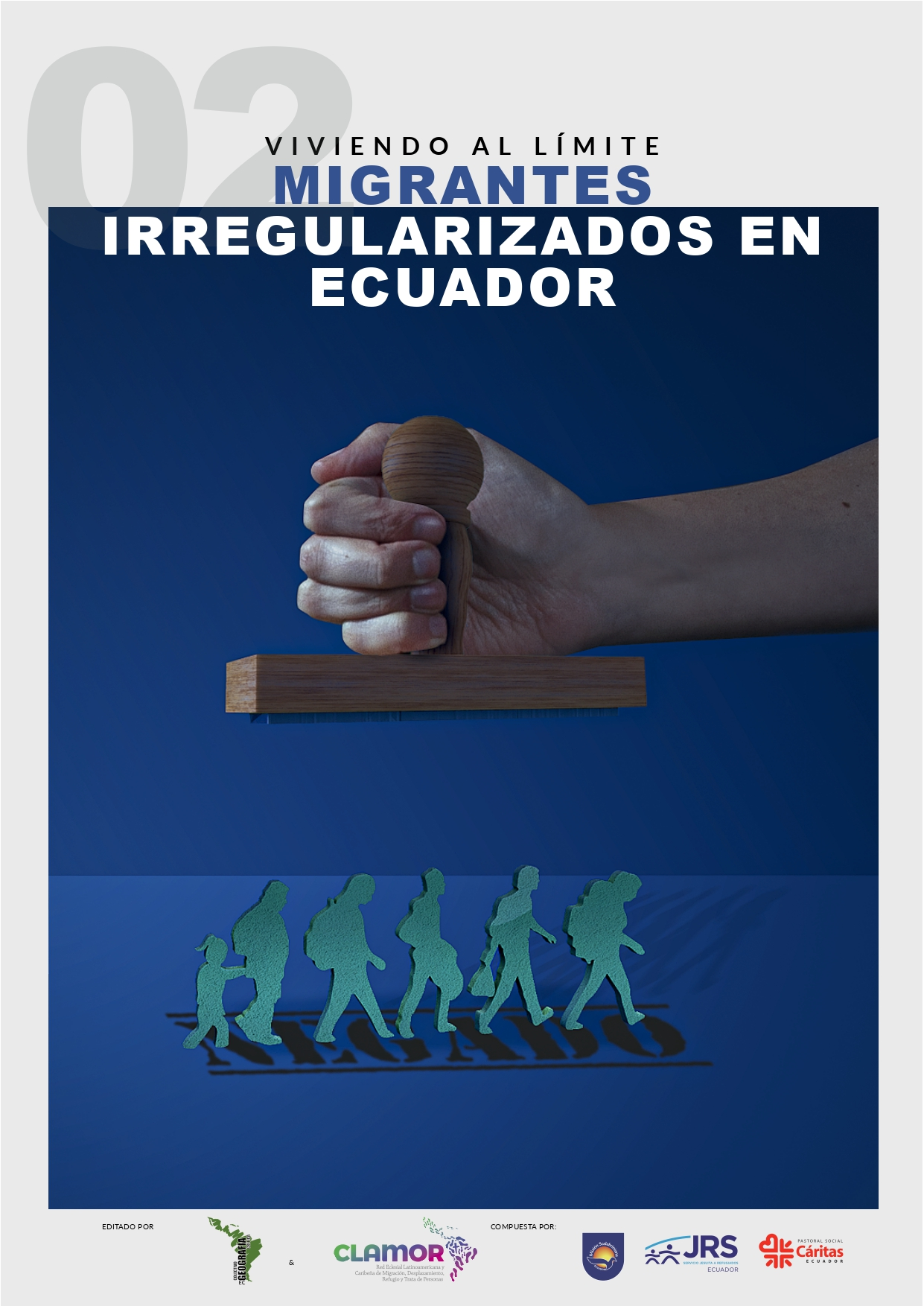
Migrant Justice 2: Irregular migrants in Ecuador.
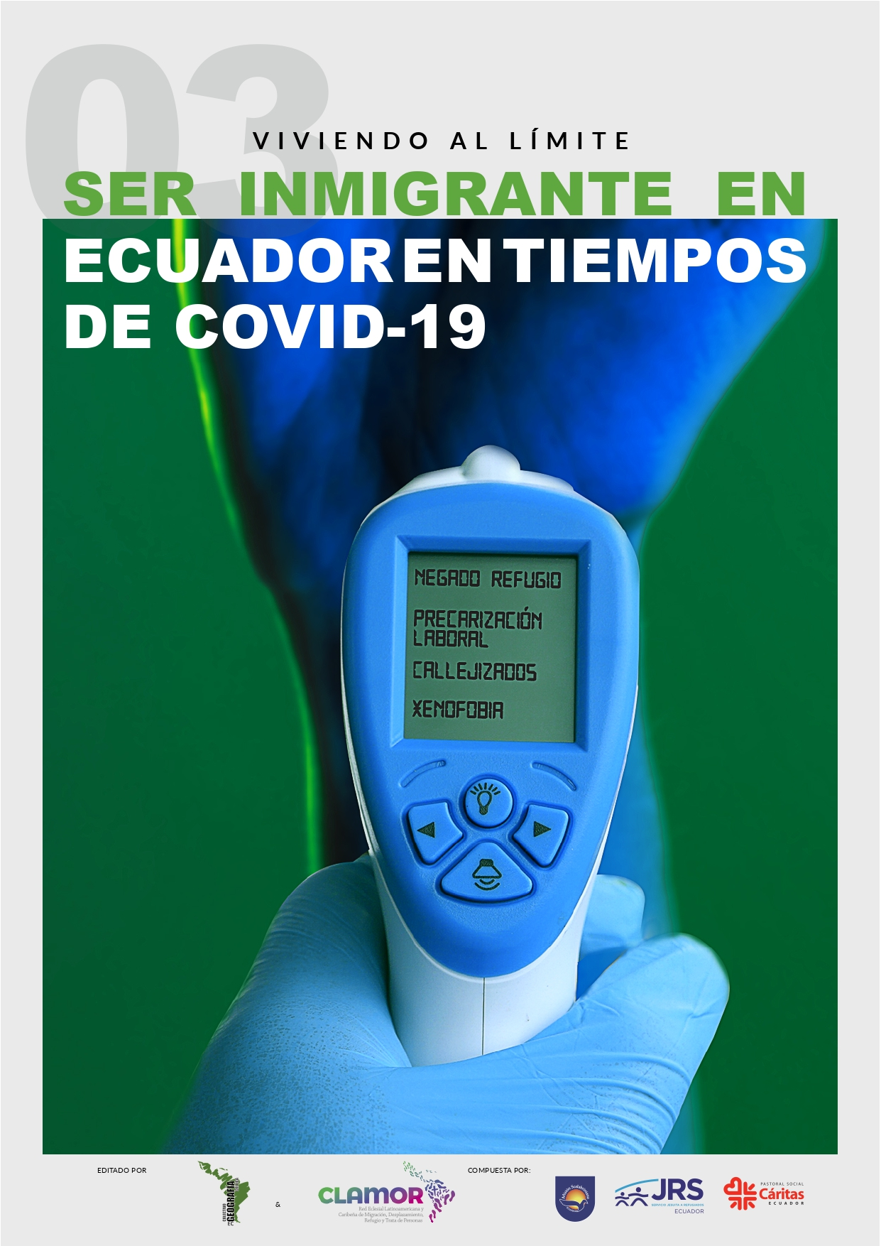
Migrant Justice 3: Being an immigrant in Ecuador during the COVID-19 pandemic.
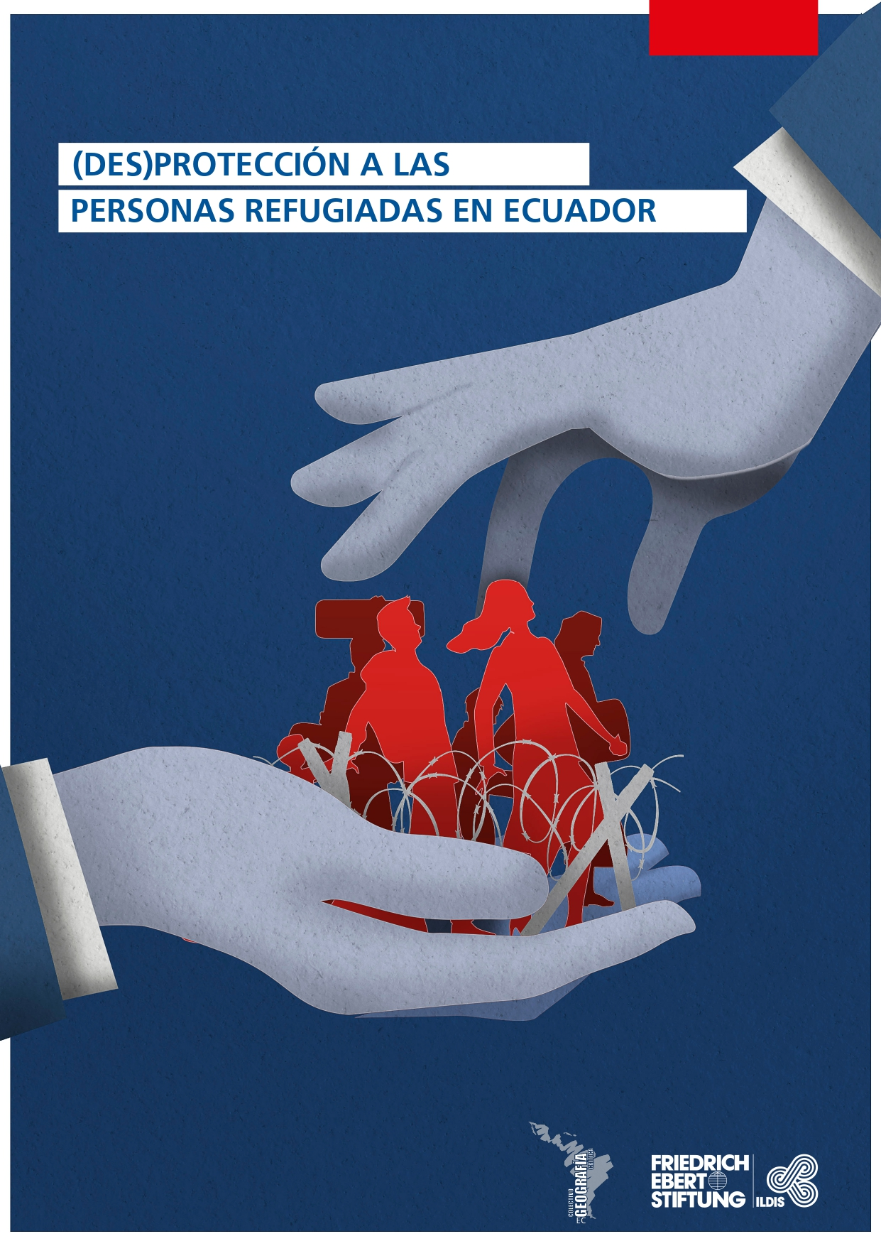
Migrant Justice 4: (Dis)protection of refugees in Ecuador.
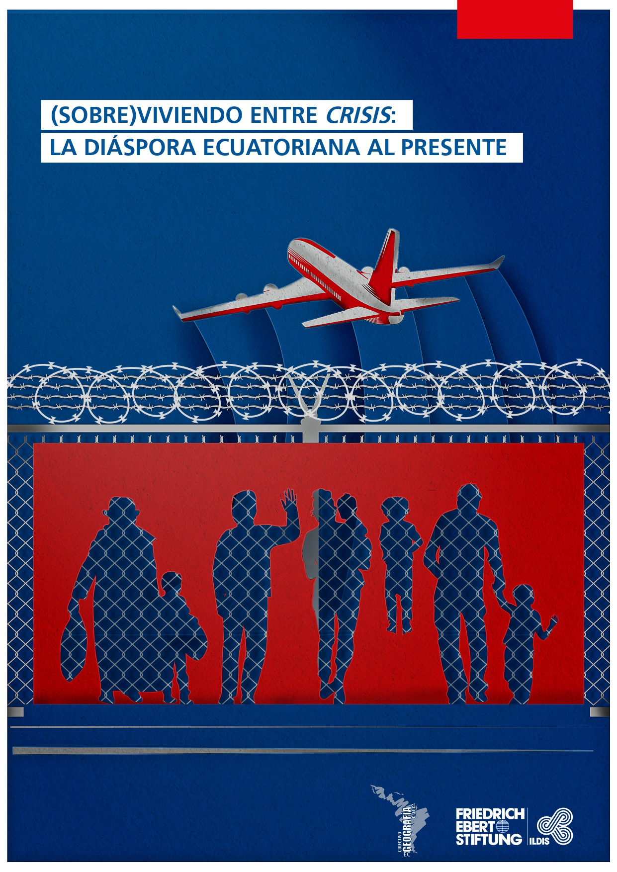
Migrant Justice 5: (Sur)viving amidst crises: the Ecuadorian diaspora today.
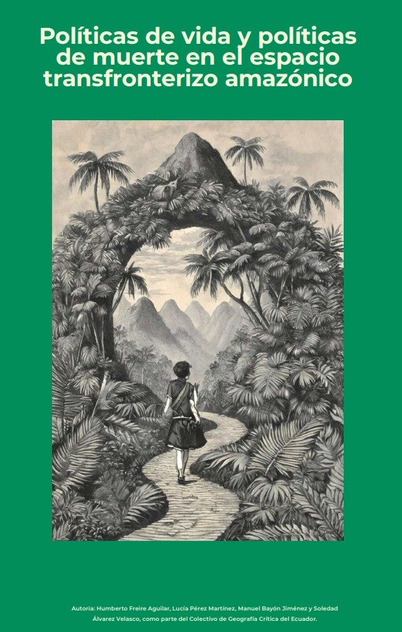
Migrant Justice 6: Policies of life and policies of death in the Amazonian cross-border region.
Project completed

Beyond the Cartesian map.
The Contested Territories project (2020–2025) facilitated a series of cartographic exchanges to explore the Atlas of Territorial Accumulation. Events such as the Dialogues with Water in Wallmapu, the Amazonian Map Library in the Ecuadorian Amazon, and the South–South Dialogues in La Paz and El Alto helped to invigorate this debate.
As a result, a series of reflections have emerged on the limits of the Cartesian map and the need to reinvent cartographic practices. The article below is an example of this, and a special issue will soon be published in the Colombian journal ‘Territorios’, which will reflect on cartographic compilations.
2026
Revista Geografía Norte Grande.
Cartographic holograms for relational ontologies. Rethinking the truth effects of cartographic discourses.
Cardin, L. & Bayón Jiménez, M.
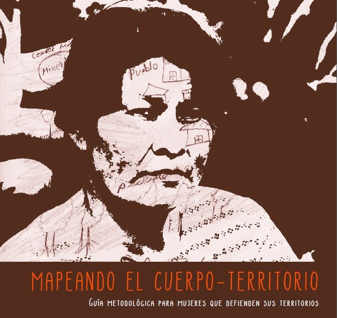
METHODOLOGICAL GUIDE
Mapping the body-territory
The mapping of the body-territory arose from the need to link the scale of the body with spaces of struggle and resistance. Drawing on methodological experiments, the Feminist Collective ‘Critical Perspectives on Territory’ developed the mapping of the body-territory as a way of enhancing its situated use.
Produced in collaboration with Delmy Tania Cruz, Eva Vázquez, Gabriela Ruales and Miriam García Torres, the guide sets out a series of proposals for developing body-territory mapping, drawing on extensive dialogue with different communities and territorialities.
Manuel Bayón Jiménez
The purpose of this website is to share publications and information on critical-radical geography, Amazonian urbanisation, political ecology, Indigenous resurgence, and activist mapping, as well as to visually present my Curriculum Vitae.